Mapping Trees
Dear Readers,
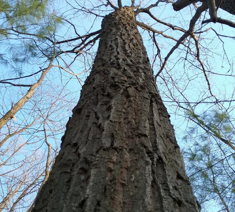
I love trees. I love how tall and expansive they can grow. I love how their roots entangle and wrap and twist over just about whatever they gosh darn please. I love the feeling of their bark. I love the feeling of humility they inspire.
Trees are good. And I want to get to know every single one of them on our property. Where they are located, what kind they are, how healthy they are, how old they are…it’s just too bad I’m so awful at it.
The first area I fail at is locating them. If I can’t locate them…I can’t protect them.
William and I want to geolocate trees on our property, and then transfer their coordinates to a site plan. More specifically, we want to locate trees that are at risk of having to be removed during our build. From our anticipated driveway, to our home’s exact footprint, there are certain trees, that if possible, we want to avoid touching entirely (like this absolutely beautiful American Beech tree…and this really cool grouping of Red Oaks).