Mapping Trees II
Dear Readers,
I am starting to feel like I am wasting my time attempting to rely on technology to map our trees. I made a second attempt at using a GPS app to pinpoint the exact longitude and latitude of specific trees on our property (the ones surrounding our home’s intended location and our potential driveway). While this app, called “GPS Coordinates,” was much more accurate at generating tree coordinates, it was still not 100%.
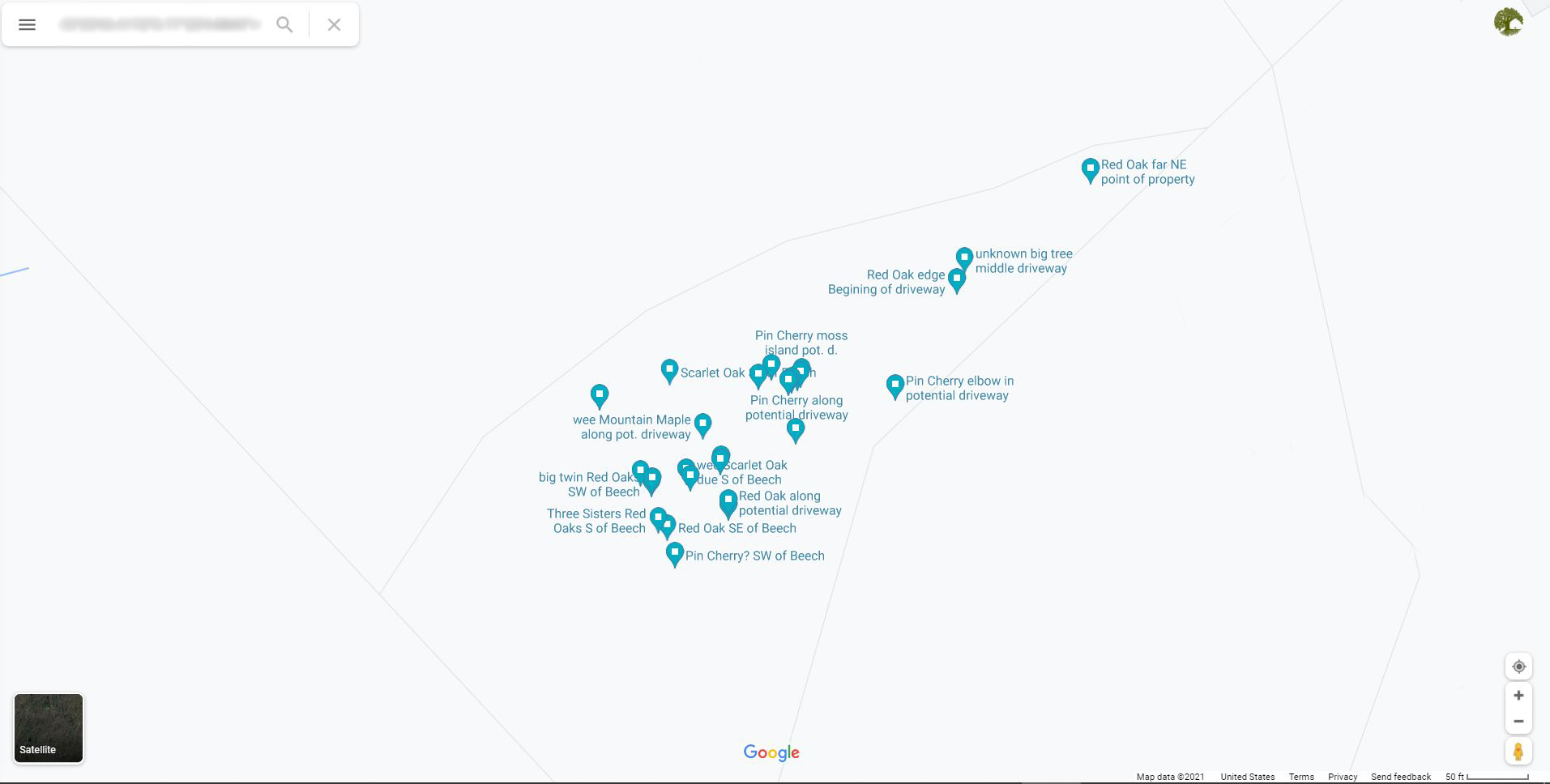
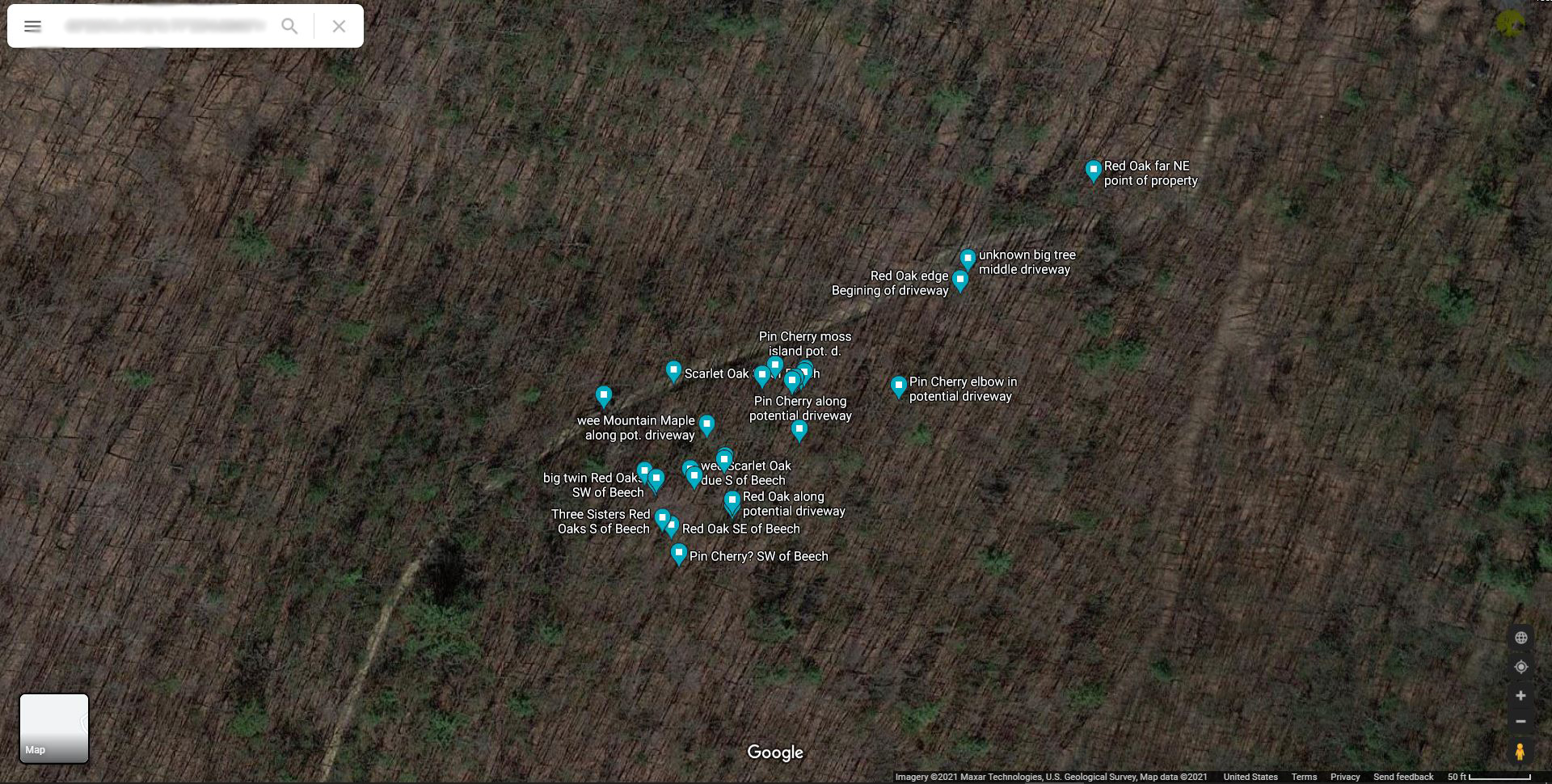
Specific trees mapped on Google with their given longitude and lattitude by the GPS Coordinates app.
To start, that ‘unknown big tree’ that is supposed to be directly at the beginning of our potential driveway looks about 50 feet off. Same with the big Red Oak and Pin Cherry tree that looks like an elbow…about 50 feet off.
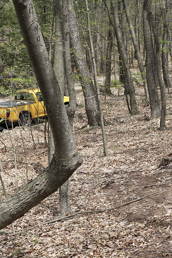
THE elbow of the Pin Cherry tree…
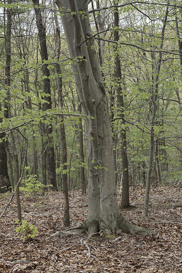
The American Beech Tree
That wee mountain maple that is supposed to be along our driveway, looks to be off by almost 100 feet. That large Scarlet Oak is also way off…I think the American Beech tree is accurate…
Grant it, these coordinates are all shown on Google maps, which is not totally accurate at placing specific, ‘small’ things, in regards to property lines. I mean, look at how the same pins show up in completely different places, depending on whether or not you are viewing the property in ‘landscape’ or not…same longitude and latitude…just different spots on map.
Not landscape…
Landscape.
Anyways, all in all, I need to do it again. This time, however, William said we will map our trees using the ‘boy scout’ method. We will measure, from pinpoint to pinpoint, by exact feet, how far trees are located. Don’t ask me for details. I am not totally sure how this is going to work yet.
Why are we bothering, you ask? That is a great question. And the longer this whole mapping trees endeavor is taking us, the more I ask myself that same question. When we get on site to build our home, won’t we be like “Oh, let’s move it a little to the left so we don’t take out that tree…oh, not that far left. We don’t want to hit that tree either.”
Welp, it is not just about not taking out trees. While that is one of our primary initiatives in mapping the trees, we also want to determine what kind of sun exposure our home is really going to have.
If William has the exact coordinates of those specific trees (there are like, thirty of them…) then he can put those trees into Revit (a 3D modeling software). Knowing the location of those trees, their approximate height, and size of their crown (where all of the magical growing things happen…like leaves), will allow him to place our home’s footprint in an ideal spot. “Ideal” as in where the home can be placed that will take out the least amount of trees while still gaining the most sun exposure. Oh, and knowing where the trees are will also help him figure out the size of our porch. We kind of forgot about our porch when we first went to lay out the footprint of our home…
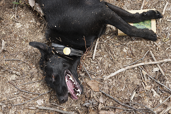
So, until William and I go ahead and do “Mapping Trees III,” here are some cute photos of Nadiya helping me to identify and map trees from the second go-around:
Nadiya identifying leaves.
Nadiya identifying trees.
Thanks for reading!
Sincerely,
Shelby Aldrich
© 2020 Sustaining Tree
© 2020 Sustaining Tree


0 Comments